A Map of Carolina, Florida, and the Bahama Islands
A naturalist’s own map of the coastline he spent a decade surveying on foot.
- Work
- A Map of Carolina, Florida and the Bahama Islands, from The Natural History of Carolina, Florida and the Bahama Islands
- Artist / naturalist
- Mark Catesby
- Origin & date
- London, 1731–1743
- Held by
- Wikimedia Commons
Format
The full-resolution scan, color-managed to the source — yours to print, study, and keep.
Size
$19.00
The story
Mark Catesby was his own cartographer as well as his own naturalist — this hand-colored map, bound into The Natural History of Carolina, Florida and the Bahama Islands, charts the entire coastal region he explored across roughly a decade of fieldwork, from the Chesapeake down through Florida and out through the Bahamas and Cuba. Rivers, colonial settlements, and the treacherous shoal-strewn passage of the Bahama Channel are rendered with a practical sailor's-eye precision quite different from the allegorical grandeur of contemporary European atlas maps, an ornate cartouche of shells and coral the only real decorative flourish. What to notice: this map is less a work of art than a field record — the same coastline Catesby walked, sailed, and sketched specimens along, making it a genuine companion piece to every bird and plant plate elsewhere in his book, not a separately commissioned decoration.
About this reproduction
- Faithful reproduction of a public-domain work, sourced from Wikimedia Commons’s open-access release.
- Printed to order on 200gsm EMA matte art paper: smooth, no glare.
- Color-managed to the source scan.
- Ships in 5–8 business days; satisfaction guarantee.
From the same naturalist
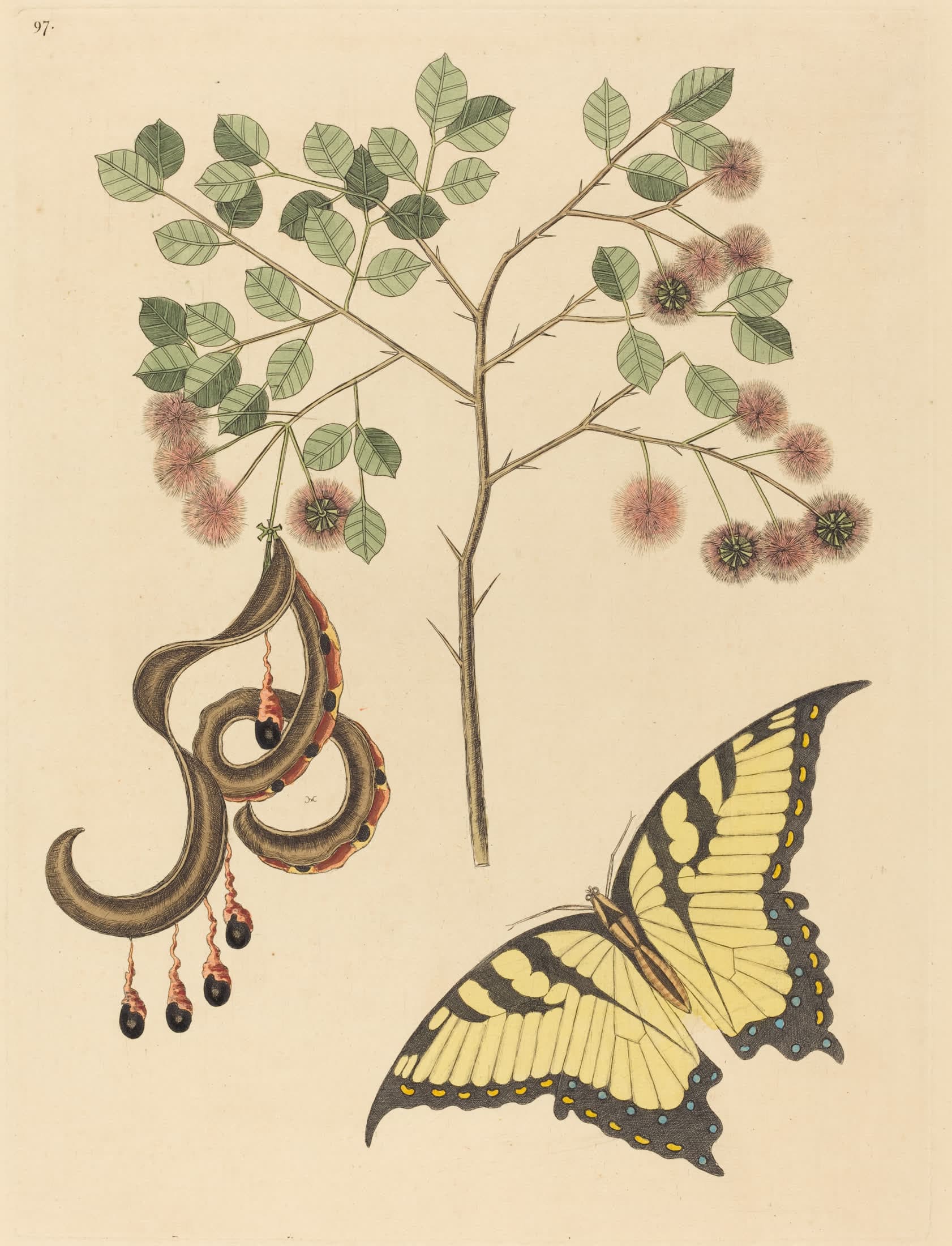
Cat’s Claw, with a Swallowtail
Plant and butterfly, paired the way Catesby paired every specimen in his book.
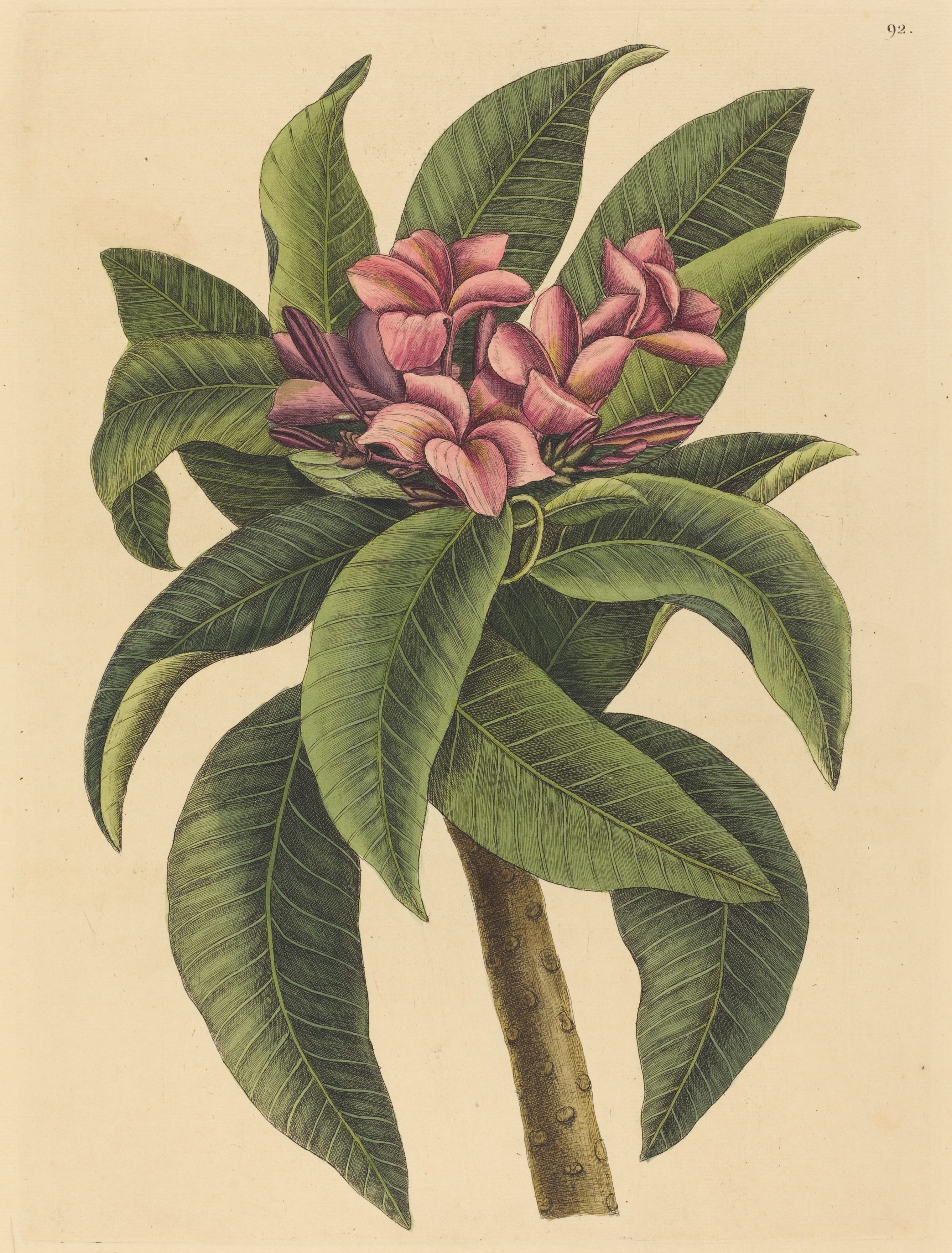
The Red Frangipani
A Caribbean bloom, recorded by the first naturalist to survey the colonial South.
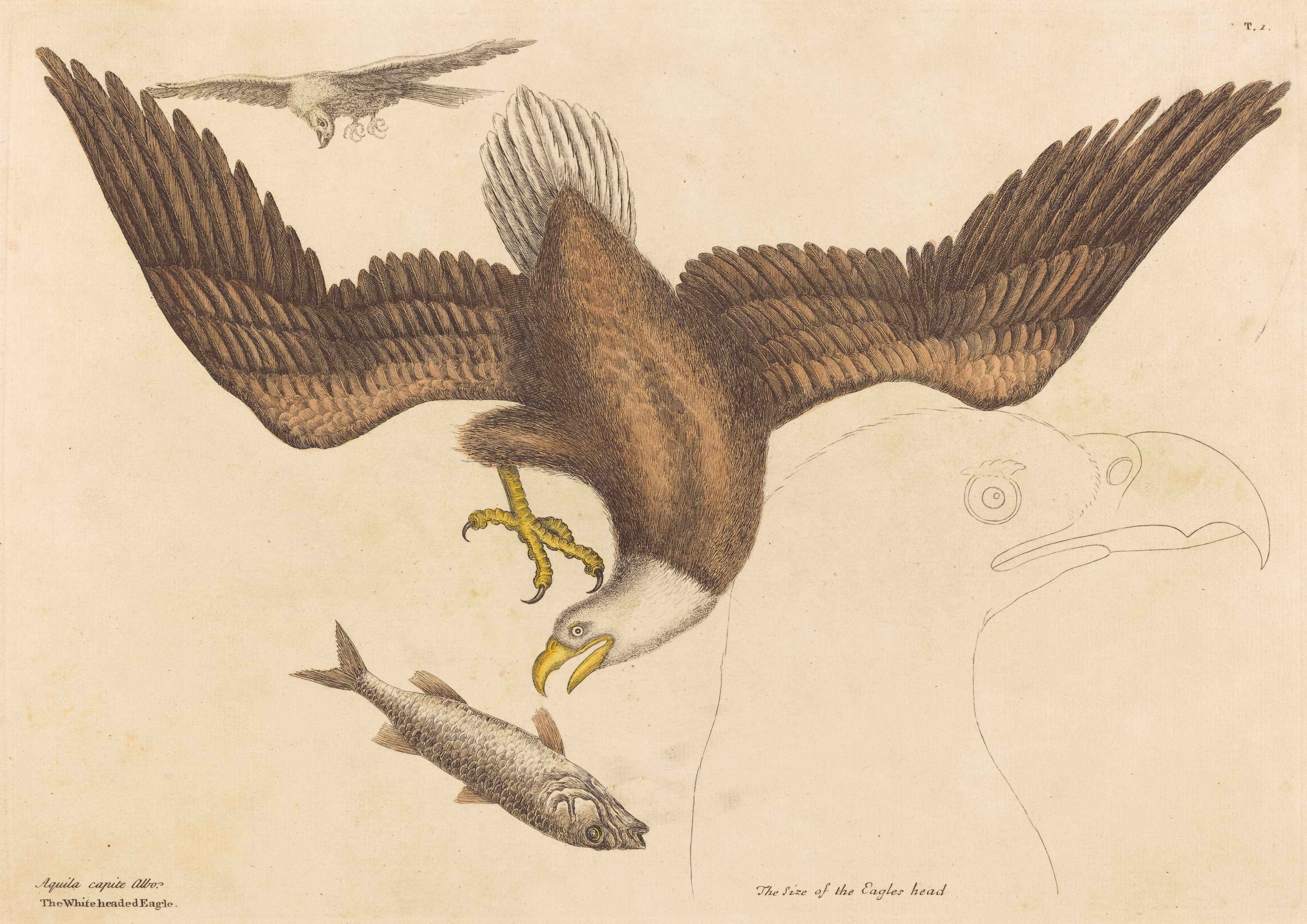
The White-Headed Eagle
The bald eagle, drawn seventy years before it became a national symbol.